, OH
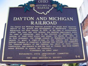
The Dayton and Michigan Railroad provided the single most important impetus to the growth and development of Wapakoneta. Although Wapakoneta had been platted in 1833, at the time of incorporation (1848), “the town was still without any material improvement worth the name of enterprise, save in the erection of residences and opening of small retail stores and shops.” On March 15, 1854, in its first ordinance, the village council of Wapakoneta voted unanimously to grant a right-of-way to the Dayton and Michigan Railroad Company to construct a railroad line through the community. The financial backers of the railroad ran short of funds during construction, and planned to end the line at Sidney, but local leaders raised $70,000 to ensure its extension. (Continued on other side)
, OH
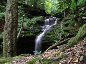
Hemlock Falls is located nearby. Two small streams cascade down the face of the massive sandstone cliff in the shade of tall hemlock trees. One of the falls drops about 60 feet and the other about 100 feet. The rock is Black Hand Sandstone deposited in the deltas along the great salt-water sea during the Mississippian Period about 350 million years ago. The cliffs were created later and were produced by erosion along the side of the valley of the ancient pre-glacial Groveport River. One large slump block, which has separated from the rock wall by weathering, may be the largest in Ohio. Plants more typical of the Appalachian Plateau and rare to Richland County can be found in this area. The ecosystem is typical of that found at the past edge of a glacier.
, OH
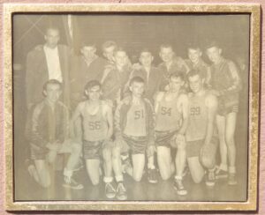
Team photograph here Standing, L to R: Coach C. Norris Simpson, Donald Alt, Bill Ziegler, Roy Meyer, Jerry Kuhlman, Karl Inkrott, Vern Schroeder, Mel Lammers Kneeling, L to R: Joe Lammers, Junior McDonald, Frank Schroeder, Ralph (Skip) Meyer, Dick Barlage Team manager: Charles Warnimont Cheerleaders: Betty Lou Meyer, Agnes Riepenhoff, Clara Schroeder, Audrey Wischmeyer School colors: Blue and Gold “You have got to have the boys and I had the boys” –Coach C. Norris Simpson
, OH
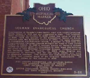
Construction of Waverly’s third church, built with locally produced brick, began in 1859 and was completed in 1860. The original deed, recorded on October 31, 1859, listed the value of the lot as $180. With the merger of the Evangelical Synod of North America with the Reformed Church in 1934, the name changed to Evangelical and Reformed Church. A merger in 1957 with the Congregational Christian Church changed the name to First United Church of Christ. In 1987 it became known as Waverly United Church of Christ, until its dissolution in 1992, when the building was given to Pike Heritage Foundation Museum. Original records and services were in German. In 1890 some English was introduced in services, and by the early 1900s was used on alternate Sundays. The church was remodeled and enlarged in 1869, but retains much of its original appearance. An annex was added to the church in 1959.
, OH
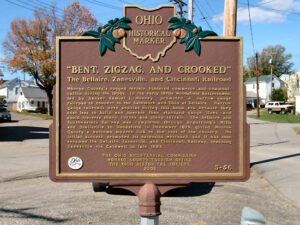
Monroe County’s rugged terrain hindered commerce and communication during the 1800s. In the early 1870s Woodsfield businessmen, led by banker Samuel L. Mooney, promoted a narrow-gauge railroad to connect to the Baltimore and Ohio at Bellaire. Narrow gauge railroads were popular during this boom era because they cost less to build and operate than standard-gauge lines and could traverse sharp curves and steep terrain. The Bellaire and Southwestern Railway was completed through Armstrong’s Mills and Beallsville to Woodsfield in December 1879, giving Monroe County a welcome modern link to the rest of the country. Its initial success prompted its extension westward, and it was soon renamed the Bellaire, Zanesville, and Cincinnati Railway, reaching Zanesville via Caldwell in late 1883.
, OH
The Carthagena Black Cemetery (Union Cemetery) is a remnant of approximately 70 documented rural black and mulatto settlements established in Ohio before the Civil War. In the charged atmosphere following race riots in Cincinnati in 1829, Quaker abolitionist Augustus Wattles led 15 black families north in 1835. In 1837 Wattles purchased 189 acres where the cemetery is located. Headstones date from 1840, the year mulatto Charles Moore, platted the Village of Carthagena. Wattles and mulatto clergymen Sam Jones and Harrison Lee were Underground Railroad conductors. Wattles moved to Kansas in 1855. By 1860, more than 100 black and mulatto families, totaling 600 people, owned over 10,000 acres. (Continued on other side)
, OH
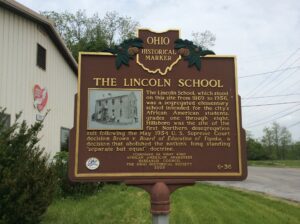
The Lincoln School, which stood on this site from 1869 to 1956, was a segregated elementary school intended for the city’s African American students, grades one through eight. Hillsboro was the site of the first Northern desegregation suit following the May 1954 U.S. Supreme Court decision Brown v. Board of Education of Topeka, a decision that abolished the nation’s long standing “separate but equal” doctrine. (Continued on other side)
, OH
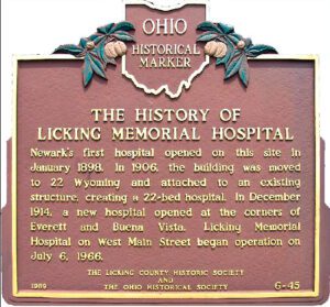
Newark’s first hospital opened on this site in January 1898. In 1906, the building was moved to 22 Wyoming and attached to an existing structure, creating a 22-bed hospital. In December 1914, a new hospital opened at the corners of Everett and Buena Vista. Licking Memorial Hospital on West Main Street began operation on July 6, 1966.


