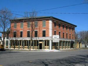
Levi Beebe built in 1836 this structure then known as the Commercial Building housing stores, bank, and post office. During the canal era, the building was a stagecoach stop and social center for Maumee, the Lucas County seat until 1853. Later the inn was called the Neely House, Schiely House, the Bismark, Seurin Hotel Langley Inn, and, after 1940, The Old Plantation.
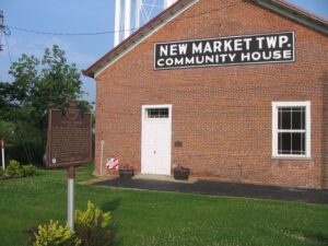
In 1798, Henry Massie, brother of General Nathaniel Massie, platted a town, the earliest permanent settlement in Highland County, covering 400 acres and named it New Market after a town in his native Virginia. New Market served as the unofficial county seat until Hillsboro assumed that title in 1807. Despite being traversed by the Cincinnati-Chillicothe Post Road with seven other roads (including one from Manchester) leading in, New Market ceased being an active trade and civic center. It is now a small hamlet with a cluster of dwellings, a church, and a few businesses.
Here, on September 6, 1918, Bryan’s Air Mail Field began operations as one of Ohio’s first official airfields with the arrival of a survey flight to establish air mail service between New York and Chicago. Scheduled service began on July 1, 1919, and stretched west to San Francisco on September 8, 1920, completing the 2,666 mile U.S transcontinental air mail route. Flying the Curtiss JN-4H “Jenny,” R-4, Standard JR-1B, and later, the De Havilland DH-4, aviators pioneered cross continental flight in open cockpit biplanes without radios or electronic navigational aids and reduced coast to coast mail delivery from 87 hours by rail to 33 hours by air.
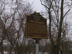
General William Henry Harrison ordered the construction of Fort Winchester at the beginning of October 1812 and it was completed October 15. The fort served as a forward observation post and supply depot for the American army during the War of 1812. Until Fort Meigs was completed in 1813, Fort Winchester was the front line against the British and their Indian allies. During the siege of Fort Meigs, Fort Winchester was a rendezvous point for the troops of General Green Clay and those of Colonel William Dudley. Fort Winchester outlined the shape of a parallelogram, measuring 600 by 300 feet in size. Blockhouses anchored the four corners of the fort and within its stockade were storehouses and a hospital.
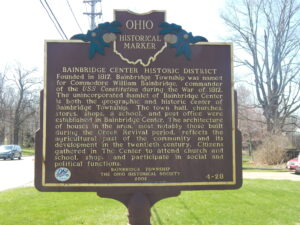
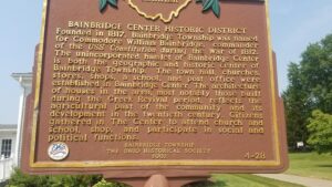
Bainbridge Center Historic District. Founded in 1817, Bainbridge Township was named for Commodore William Bainbridge, commander of the USS Constitution during the War of 1812. The unincorporated hamlet of Bainbridge Center is both the geographic and historic center of Bainbridge Township. The town hall, churches, stores, shops, a school, and post office were established in Bainbridge Center. The architecture of houses in the area, most notably those built during the Greek revival period, reflects the agricultural past of the community and its development in the twentieth century. Citizens gathered in The Center to attend church and school, shop, and participate in social and political functions.
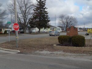
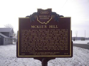
Following the American Revolution, the British Crown sought to retain possession of the Ohio Country by sending chief British Indian Agent Alexander McKee and others to establish trading posts with Native Americans and resist American settlement. In 1786, Colonel Benjamin Logan led an American force against the British posts and tribes. Warned of their approach, McKee and a band of Shawnee, took their possessions, including a large drove of hogs, and fled north from the Mackachack Villages near present-day Bellefontaine. Their route was the Black Swamp Trail, now Napoleon Road. An attempted crossing of the rain-swollen Ottawa River turned disastrous, resulting in the loss of possessions and most of the hogs. The hill upon which the party camped following the failed crossing, located one half mile east of here, became known as McKee’s Hill, and the portion of the Ottawa River east of Lima has since been known as Hog Creek.
Bainbridge Center Historic District. Founded in 1817, Bainbridge Township was named for Commodore William Bainbridge, commander of the USS Constitution during the War of 1812. The unincorporated hamlet of Bainbridge Center is both the geographic and historic center of Bainbridge Township. The town hall, churches, stores, shops, a school, and post office were established in Bainbridge Center. The architecture of houses in the area, most notably those built during the Greek revival period, reflects the agricultural past of the community and its development in the twentieth century. Citizens gathered in The Center to attend church and school, shop, and participate in social and political functions.
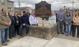
The Caldwell Downtown Historic District is the historic commercial and governmental core of the Village of Caldwell, which was founded in 1857 on farmland owned by Joseph and Samuel Caldwell. Caldwell serves as the county seat of Noble County, the last of Ohio’s 88 counties to be organized. The agricultural community prospered and by 1873 was the second-largest producer of tobacco in Ohio. The Pennsylvania Railroad arrived in 1872, and the development of salt, oil, coal, and natural gas extraction companies followed during the 1880s. Two separate fires in 1897 devastated portions of the north and south quadrants of the district. As a result, Caldwell formed a volunteer fire department and the Village Council introduced legislation prohibiting construction of wood buildings within a block of the public square. (Continued on other side)