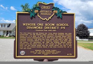
Dinsmore Township School District #4 was formed in 1865following a decision by the township’s board of education that a school would be built in the center of every four sections of land, or every four square miles. This placement of school buildings gave township children the opportunity to attend school close to home and the chance at receiving a public education up to the eighth grade, Nine districts were created for the children of white households, and an additional district was formed to educate the children of the African American families, for a total of ten districts in the township. On June 11, 1866, the Dinsmore Township School Board purchased land from George Wenger to build the District #4 school near the intersection of Ohio Route 274 and Wenger Road. (Continued on other side)
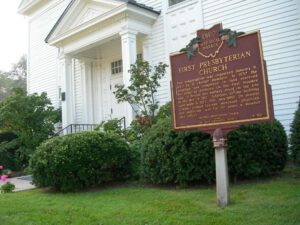
This congregation was organized January 9, 1820 by 11 charter members. In 1837 the structure was completed on land reserved for religious purposes on the first Maumee plat. A British gun battery stood on the site in the War of 1812. Additions to the building were made in 1922, 1951, and 1968. Dr. Horatio Conant, pioneer teacher, merchant, physician, and politician, was for 59 years a member and officer.
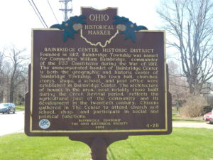
Bainbridge Center Historic District. Founded in 1817, Bainbridge Township was named for Commodore William Bainbridge, commander of the USS Constitution during the War of 1812. The unincorporated hamlet of Bainbridge Center is both the geographic and historic center of Bainbridge Township. The town hall, churches, stores, shops, a school, and post office were established in Bainbridge Center. The architecture of houses in the area, most notably those built during the Greek revival period, reflects the agricultural past of the community and its development in the twentieth century. Citizens gathered in The Center to attend church and school, shop, and participate in social and political functions.
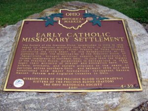
The Society of the Precious Blood, established in Italy in 1815, began its American ministry here in Peru in January 1844, led by Swiss missionary Father Francis de Sales Brunner. Continuing the work begun by the Redemptorists at St. Alphonse in 1833, the Missionaries of the Precious Blood, or “Sanguinists,” brought spiritual support and education to German immigrants in northern Ohio. In July 1844 the Sisters of the Precious Blood, established in Switzerland in 1834, began their ministry of prayer and education here. The priests, brothers, and sisters attended to the needs of parishes across northern Ohio, and between 1844 and 1856 established nine major foundations throughout Seneca, Mercer, Putnam and Auglaize Counties in Ohio.
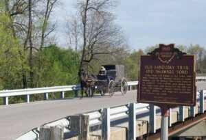
County Road 265 follows an old Indian trail which connected the Wyandot villages at Upper Sandusky with the Shawnee Mac-o-chee towns to the southwest. Many wigwams were pitched near this Scioto River ford during the late 18th and early 19th centuries. Soldiers (during the War of 1812), settlers, and stagecoach passengers later followed this route.
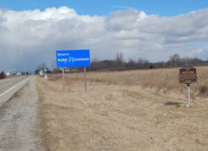
After the War of 1812, the United States Congress proposed two million acres of military bounty land for the Michigan Territory. To survey the land, the meridian had to first be established. U.S. Surveyor General Edward Tiffin created the meridian based on the western line of the Treaty of Detroit (1807). He contracted with Deputy Surveyor Benjamin Hough in April 1815 to begin the survey for $3 per mile. Taking a reading from Polaris (the North Star), Hough, Alexander Holmes, and 11 crew members surveyed the line due north from Fort Defiance. The difficult terrain they encountered temporarily halted all surveys in the territory and ultimately led to the bounty land being transferred to the Illinois and Missouri Territories.
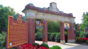
Manasseh Cutler, Rufus Putnam, Winthrop Sargeant, and Benjamin Tupper of the Ohio Company conceived Ohio University, which was encouraged by the Ordinance of 1787 and the Northwest Territorial Legislature in 1799, incorporated as the American Western University in 1802, and chartered by the Ohio State Legislature on February 18, 1804. The university is the first institution of higher learning in the Northwest Territory, second west of the Allegheny Mountains, and the first in the United States to be endowed with land by the government with proceeds used to pay for its operations-revenue from two townships was set aside to support the university. Opened on June 1, 1809, as an academy with three students, Ohio University awarded its first undergraduate degrees in 1815.
With the signing of the Treaty of Paris in 1783, England lost the American Revolution and ceded to its former colonies land from the Atlantic Ocean to the Mississippi River. By this time, pioneer settlers had reached the eastern bank of the Ohio River, but the Ohio Country, located west and north of the river, was still considered Indian Territory. The Indian tribes desperately defended their hold on this land. On August 20, 1794, United States forces led by Major General Anthony Wayne defeated an Indian alliance at the Battle of Fallen Timbers fought near modern-day Toledo. One year later, on August 3, 1795, the largest assemblage of northwestern Indian representatives at a peace settlement signed the Treaty of Greene Ville, which effectively ceded all land south of the Greene Ville Treaty line to the Americans. The Fort Laurens site was a reference point in the Treaty line. The Ohio Country was then rapidly settled, and in 1808, Tuscarawas County was organized.