, OH
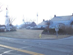
A pioneer furniture manufacturer and philanthropist, Erie J. Sauder (1904-1997) was born and reared on a farm in Archbold. With the help of his wife Leona, he began woodworking in their town barn in 1934. Crafting tables and church pews, the Sauder Woodworking Company grew quickly. Sauder’s 1951 invention of an easily shipped table kit heralded the modern ready-to-assemble furniture industry and firmly established the company as one of Fulton County’s primary employers. In 1976 Sauder founded the Sauder Village to interpret nineteenth century rural lifestyles in the Black Swamp region.
, OH
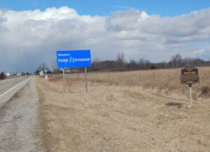
The Northwest Ordinance of 1787 defined the boundary of the northern and southern tier of states to be carved out of the Northwest Territory, as a line drawn east from the southernmost tip of Lake Michigan until it intersects Lake Erie. Controversy over the exact location of that line led to the 1834-1837 boundary dispute between the State of Ohio and Michigan Territory. Passions ran high as everyone on both sides of the boundary knew that a great port city (Toledo) would emerge in the disputed territory. President Andrew Jackson settled the dispute in 1836 when he signed an act that recognized the current border between Ohio and Michigan, giving Michigan 9,000 square miles of Upper Peninsula land and awarding the disputed strip of approximately 470 square miles to Ohio. Michigan then joined the nation as a state the following year.
, OH
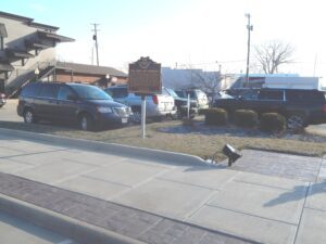
Henry Simon Winzeler, founder of The Ohio Art Company, was born in 1876 in the Winzeler family home just north of this site in Burlington. As a young man, he opened a dental practice in 1900 in the Murbach Building in Archbold on the corner of North Defiance and East Holland streets. Making a dramatic career change eight years later, Winzeler, inspired by an oval mirror in his aunt’s clothing store, started a company to manufacture picture frames. Calling it The Ohio Art Company, venture capital came from Winzeler’s Hub Grocery that he opened in August 1908 located on North Defiance Street. His picture frame company was opened in the Spoerle and Baer Building, a few doors down on the same street. [Continued on other side]
, OH
After the War of 1812, the United States Congress proposed two million acres of military bounty land for the Michigan Territory. To survey the land, the meridian had to first be established. U.S. Surveyor General Edward Tiffin created the meridian based on the western line of the Treaty of Detroit (1807). He contracted with Deputy Surveyor Benjamin Hough in April 1815 to begin the survey for $3 per mile. Taking a reading from Polaris (the North Star), Hough, Alexander Holmes, and 11 crew members surveyed the line due north from Fort Defiance. The difficult terrain they encountered temporarily halted all surveys in the territory and ultimately led to the bounty land being transferred to the Illinois and Missouri Territories.
, OH
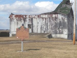
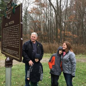
Two Deputy U.S. General Land Office Surveyors traversed Goll Woods: Benjamin Hough in 1815 and Captain James Riley in 1821. Hough (1772-1819) established the Michigan Meridian in 1815 and was county and state office holder in Ohio. Riley’s life was more tumultuous. Riley (1777-1840) captained the merchant ship Commerce, which wrecked off the Saharan coast in 1815. Riley and crew were enslaved for four months until ransomed by British diplomat William Willshire. In 1817, Riley published a famous account of his time in North Africa, and, in 1819, was appointed a surveyor by Surveyor General Edward Tiffin. Moving to Northwest Ohio, Riley named the village he founded in 1822, Willshire, for his deliverer. Riley returned to New York in 1826 and to the sea, where he died. Riley’s book went through more than twenty editions by 1860 and Abraham Lincoln credited the account as one that influenced him deeply.
, OH
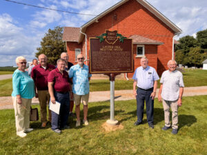
In 1834, immigrant families from the Upper Rhine River Valley villages of Mulhausen (France) and Schaffhausen (Switzerland) first met in Marshallville, Ohio. They decided to travel west by canal boat and purchase farmland in what became Fulton County in 1850. Joseph Bates, a knowledgeable hunter and navigator, brought them to German Township. On August 22, 1834, Bates and his hired men erected a log cabin for Christian Lauber and the first families arrived at “Lauber Hill” the following day. The farming community grew and by the 1880s included a Reformed Mennonite Church, a German Baptist Church, a Froehlich Evangelical Church, the Barneth (Bernath) one-room school, the Werrey Cabinetmaker’s Shop, the Roth Sawmill, the Uhlrich Wagon Shop, the Wise Brickworks, and the Leu Blacksmith Shop.


