, OH
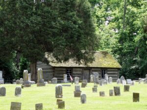
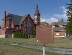
To Commemorate the first church erected in Union Township, Miami County, Ohio, this log replica was constructed in 1976 by the Union Township 4-H Clubs and the West Milton area Camp Fire Girls. The Laura Lions Club established this historic marker which stands on the site of the West Branch Quaker Burial Grounds near the location of the original church.
, OH
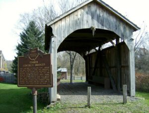
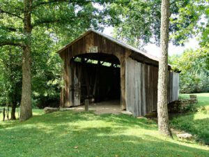
This covered bridge, over Middle Run, Elkrun Township, Columbiana County, is the shortest covered bridge in the United States still standing on a once-used public highway, having a clear span of 19 feet and 3 inches. It is an example, rarely found covered, of the simplest, most basic truss design, the two-panel king post truss. It has withstood the rigors of time and traffic since the 1870s and stands in eloquent testimony of the fine craftsmanship of the early Ohio bridge builders.
, OH
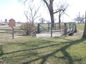
Built in 1894 at a cost of $575, this bridge spanned Town Creek at Hoghe Road (Township Road 82) for 100 years. The Van Wert County Commissioners approved the bridge’s construction in response to requests from the Cincinnati, Jackson & Mackinaw Railroad Company. The span is an example of the truss-leg bedstead design. It was intended to handle heavy loads traveling to and from area railroad tracks, which were less than a mile from the bridge’s original location. The bridge was removed from Hoghe Road in 1994. The Van Wert County Engineer’s Department rehabilitated the bridge and, with the permission of the Van Wert County Agricultural Society, relocated it to the county fairgrounds in 1997.
, OH
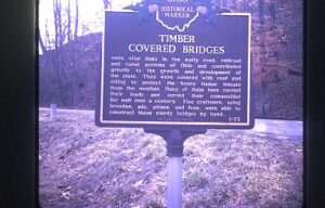
This bridge, spanning Brush Creek in Brush Creek Township, Scioto County, was erected in 1874 by the Smith Bridge Company of Toledo, Ohio. Robert W. Smith was granted patents for timber trusses in 1867 and 1869, and the design for this bridge is a Smith patented truss. The supplemental arches were added in 1896. Original length of 200 feet had been shortened to its present 171 feet. This plaque has been erected to give due honor to these early timber covered bridge builders and to the men of the community who so ably assisted them. [This side of the marker contains a bridge illustration in the upper left corner]
, OH
This covered bridge, spanning Salt Creek in Perry Township, Muskingum County was erected in the 1870s. It is a splendid example of an Ohio covered bridge built with Warren type trusses. It is being preserved as an important illustration of the sound, fine craftsmanship of the early bridge builders of Ohio. This plaque has been erected to give these men the honor they greatly deserve.
, OH
This building was a center of community life from the time of its construction in 1886 to the late 1930s. Once common, such combinations of governmental offices and commercial and entertainment space are today rare. The second floor opera house retains many original features, including stage backdrops, dressing rooms, and seats. Vaudeville, theater companies, and entertainment of all kinds were hosted here and many performers signed the backstage walls: Buffalo Bill dated his signature October 28, 1888. Along with village offices, first floor tenants have included the Vermillion Township Trustees, the Eddie Stover Hat Shop, and the F.L. Smith Watch Repair and Jewelry Store. Hayesville’s citizens approved the hall’s construction on April 18, 1884 by a vote of 100 to 13. Contractor Samuel Craig completed the building two years later at a cost of $4,852.20. Located on the Lincoln Highway, this building was listed on the National Register of Historic Places in 1976.
, OH
The Cranberry Prairie, southwest of this marker, is a part of Ohio’s natural history. The place was named for the cranberries that grew in a swamp here prior to drainage of the area. The Cranberry Prairie was created by centuries of peat accumulation in a late Ice Age lake that formed at the base of St. John’s Moraine. Paleo-Indian or Early Archaic peoples probably killed the elk whose skeleton was dug up here in 1981. This elk was dated at approximately 7400 B.C. By the 1860s, immigrant German farmers had begun transforming the swamp into fertile farmland. “Wild Bill” Simison, a legendary inhabitant, lived in the swamp and settlers respected him for his knowledge of the area. By the turn of the nineteenth century, Granville Township School #7, St. Francis Catholic Church, and Bertke’s Store stood at the edge of the Cranberry Prairie.
, OH
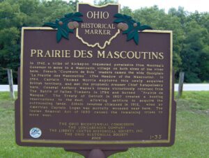
In 1742, a tribe of Kickapoo requested permission from Montreal’s Governor to move to a Mascoutin village on both sides of the river here. French “Coureurs de Bois” traders named the wide floodplain “La Prairie des Mascoutins” (The Meadow of the Mascoutin). In 1764, Captain Thomas Morris explored this newly acquired British territory, and met the prophetic dreamer Chief Katapelleecy here. General Anthony Wayne’s troops victoriously returned from The Battle of Fallen Timbers in 1794 and burned “Prairie de Masque.” The Treaty of Detroit in 1807 created a hunting reservation to the east, allowing settlers to acquire the surrounding lands. Ethnic tensions climaxed in 1812, when an American Captain Logan was mortally wounded near here. The Indian Removal Act of 1830 caused the remaining tribes to move west.


